Bovilla Reservoir
Last updated · 2026-11-15
What is the Bovilla Reservoir?
Bovilla is an artificial reservoir 20–25 km northeast of Tirana, formed by a 91 m dam on the Tërkuzë river (completed 1996, full by 1998). It covers about 4.6 km², is about 45 m deep and supplies most of Tirana’s drinking water, which is why swimming is prohibited.
Sources: UKT, Tirana's water utility, Dajti National Park (AKZM), Lake Bovilla, Wikipedia
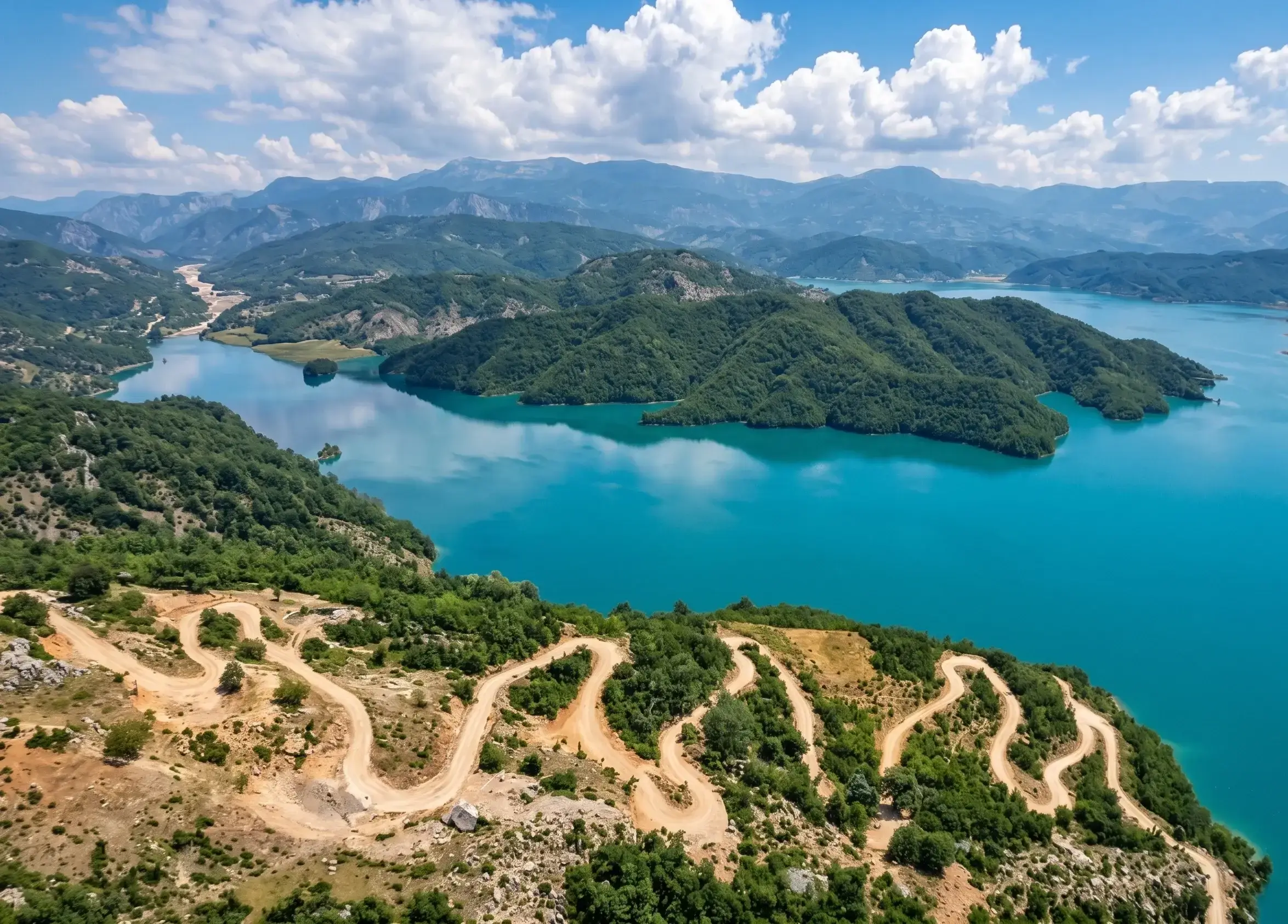
Is Bovilla a natural lake or a reservoir?
A reservoir. A 91 m dam across the Tërkuzë river created it, to supply Tirana with drinking water. The dam was completed in 1996 and the reservoir was full by 1998.
Bovilla Reservoir in numbers
| Fact | Detail |
|---|---|
| Type | Reservoir (artificial lake) |
| Dam | 91 m high, on the Tërkuzë river |
| Completed | 1996, full by 1998 |
| Surface area | 4.6 km² |
| Volume | About 78 million m³ at full level |
| Maximum depth | About 45 m |
| Elevation | About 620 m |
| Use | Most of Tirana’s drinking water |
| Swimming | Prohibited |
Dam height and volume come from the register of Albania’s National Committee of Large Dams (ALBCOLD).
The water level is not constant. It rises and falls 7–10 m through the year and peaks after the winter rains, so the reservoir looks fullest in spring. The month-by-month guide shows what that means for your visit.
Why is Bovilla so turquoise?
Most likely the rock around it. Fine mineral particles from the limestone around the reservoir stay suspended in the water and scatter blue-green light, as in many mountain lakes. We know of no published study of Bovilla’s colour, so this is the usual explanation, not a measurement.
Can you swim in Bovilla Reservoir?
No. It is a drinking-water source, so swimming is prohibited, and the shores are muddy rather than sandy. The nearest lakes where you can swim are the Belsh lakes, about 90 minutes south of Tirana. Lakes near Tirana, compared covers all four.
Is Bovilla worth a visit?
Yes, for the view. The reason to go is the Balcony of Bovilla viewpoint, 35–45 minutes up the Mount Gamti trail, with the green gorge of Bovilla Canyon on the way. Our honest review covers who should skip it, and the tours from Tirana mean you never drive the unpaved final road yourself.
Frequently asked questions
How deep is Bovilla Reservoir?
About 45 m at its deepest. The level also swings by 7–10 m through the year, so the depth in spring is not the depth in September.
When was the Bovilla dam built?
The dam was completed in 1996 and the reservoir was full by 1998. It is 91 m high and holds back the Tërkuzë river.
How much water does Bovilla hold?
About 78 million m³ at full level, according to Albania’s national dam register (ALBCOLD). The reservoir covers about 4.6 km².
Does Lake Bovilla supply Tirana’s drinking water?
Yes, most of it. Estimates of the exact share vary between sources, so we say “most” rather than quote a percentage.
Are Bovilla Reservoir, Bovilla Stausee and Lake Bovilla the same place?
Yes. Guides in English, German, French and other languages use different names (Lake Bovilla, Bovilla Stausee, lac de Bovilla) for the same reservoir, 20–25 km northeast of Tirana.